
How we reported it: Left turns
This project started with a question: "What's up with turning left in L.A.?" Both of us (the authors of this project, Katie Kirker and Grace Manthey) are not from Southern California. In fact, we come from places one could say are totally opposite from SoCal: Katie is from Calgary, Canada and Grace is from Anchorage, Alaska.
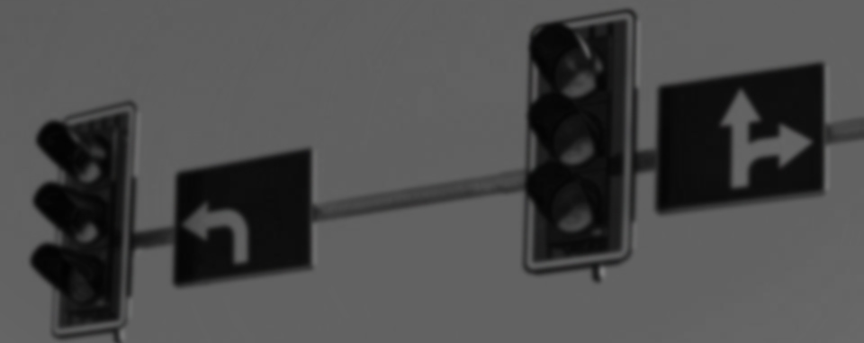
So L.A. traffic itself was a big difference from our hometowns, but something we both noticed the more that we drove here was how hard it is to turn left in this city, especially because it seems like there are very little lights that have dedicated left turn arrows. When we were first discussing this project, Katie even said, "I will go out of my way to go to a light that has an arrow so I don't have to make an unprotected left."
From there, it was research time. We wanted to know if the city of L.A. had any record of which intersections had left turn arrows and which didn't. After several unsuccessful attempt to get in contact with the Los Angeles Department of Transportation via email and phone, we decided to messaged them on Twitter. That worked, and a day later we got an answer: that LADOT doesn't have any" digital or other list of all signals with dedicated left turn arrows." So then it was time for plan "B."
We got traffic data from the Safe Transportation Research and Education Center's Transportation Injury Mapping System. Since we didn't know for sure which intersections had left arrows, we downloaded all the collisions that had happened at intersections between 2007 and 2017 (the most recent available year at the time.)
After that, it was time to clean. For intersections, TIMS uses a "primary road" and a "secondary road." Using a program called OpenRefine, we were able to clean up the intersection names by first making sure the spelling and abbreviations for all the primary and secondary roads separately. Then, we made another column called "intersection name" and combined the primary and secondary roads. From there, it was a matter of cleaning up the names where the road names were switched.
Then, came the longitude and latitude cleaning. Lucky for us, TIMS data comes with lat and long points, but some are slightly off of other points, even if they are at the same intersection. So we made a new column in OpenRefine that added in the latitude and longitude so we could make sure all the coordinates were the same for the same intersections.
For speed and clarity's sake, we only mapped the last three years of data we had, because OpenRefine could not handle much more data than that without crashing. We also only mapped the intersections that had more than six collisions in those three years, or an average of two per year. This allowed us to look at a Google Maps 360 photo of every individual intersection on that list (about 450 of them) to see which ones had dedicated left turn lights, phased left turn lights, or none.
For interviews, we wanted an expert. So we got in touch with Matt Tinoco, who wrote an article in 2016 about why there are so few left turn arrows in the city. He got us in touch with John Fisher, a former LADOT employee, who gave us good background about what goes into not only the thought process behind the installation of left turn arrows, but also the physical process.
We also knew we needed a regular person's voice in there. Knowing lots of people who drive in L.A., that wasn't hard. (Although it may have been lucky -- or unlucky -- that we got a story from someone who had some real issues when it comes to left turn lights.)